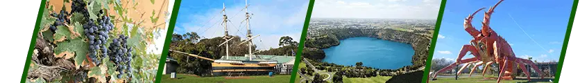


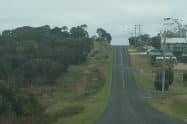
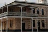

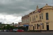

Are you wondering where to take the kids for a fun family holiday? Think no further than Mount Gambier, an enchanting destination between Melbourne and Adelaide.
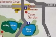
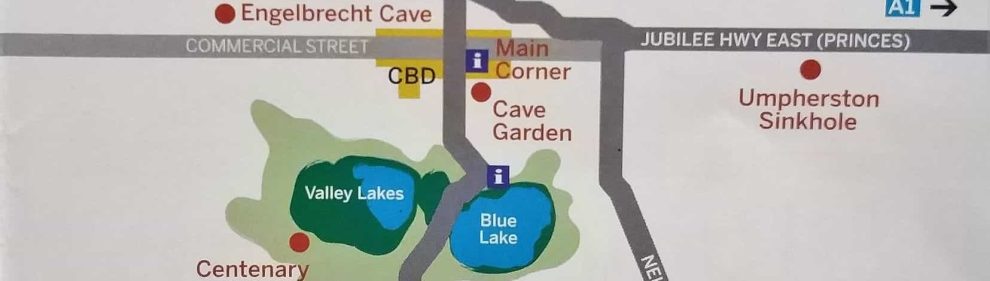
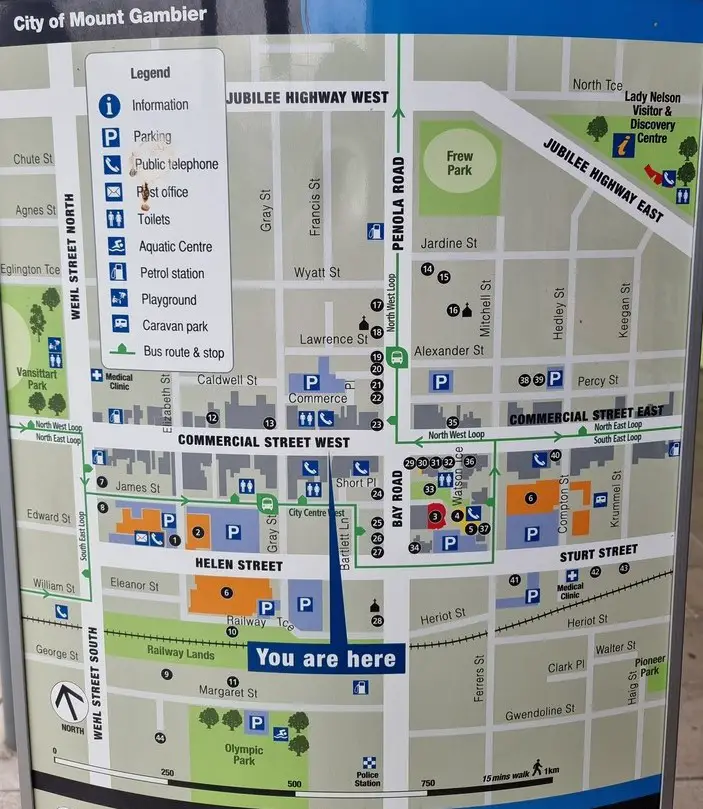
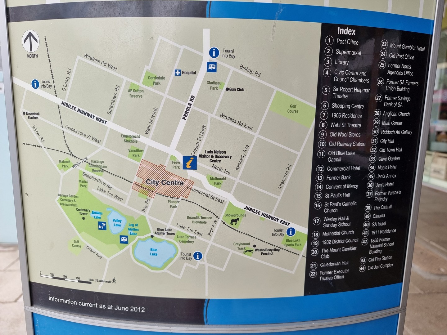
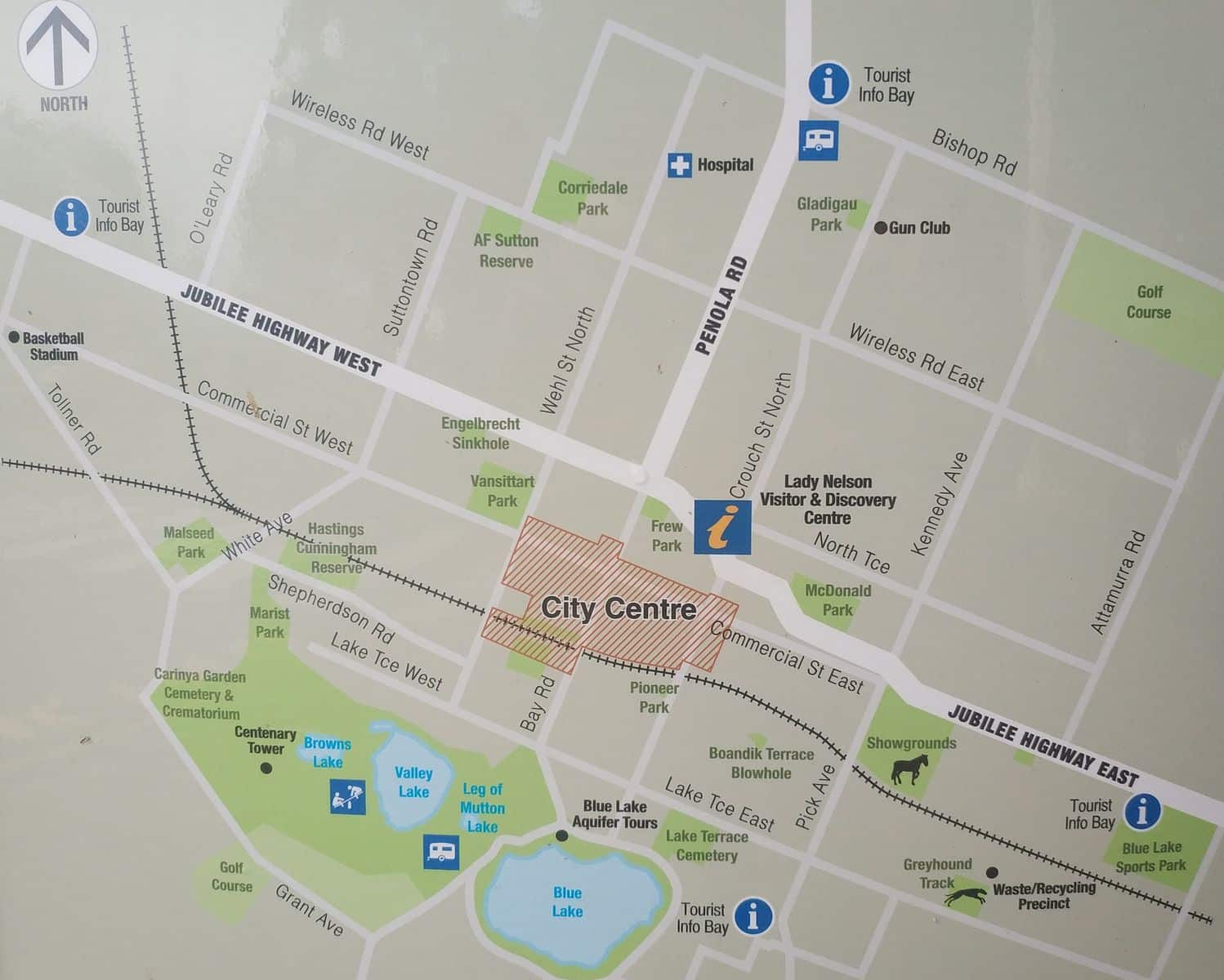
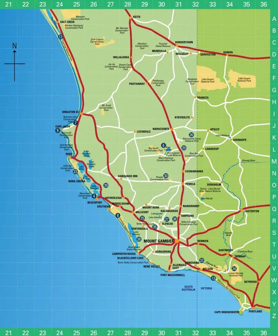
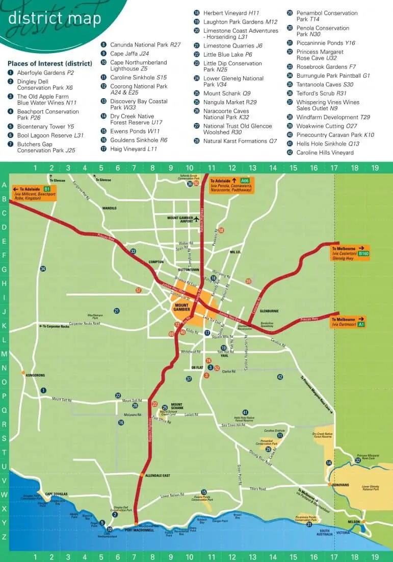
Making plans to visit Mount Gambier has to be on any traveller’s must-visit list in Australia, and for good reason. On arrival, a good place to start would be at ‘The Lady Nelson Visitor Centre‘. The Centre makes for a good starting point because visitors are furnished with valuable information regarding their destination and can obtain a Mount Gambier map with details of the attractions throughout the region.
Mount Gambier Tourist Attractions & Local Amenities Map, SA
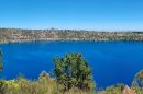
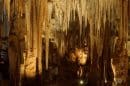
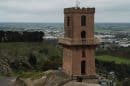
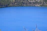
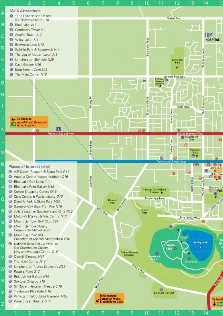
The Tower, built in 1904, is the town’s highest point. From the tower, visitors can enjoy panoramic views of the coastal city and the expansive crater lakes that dot the landscape.
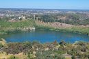
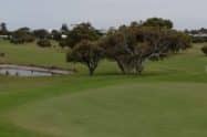
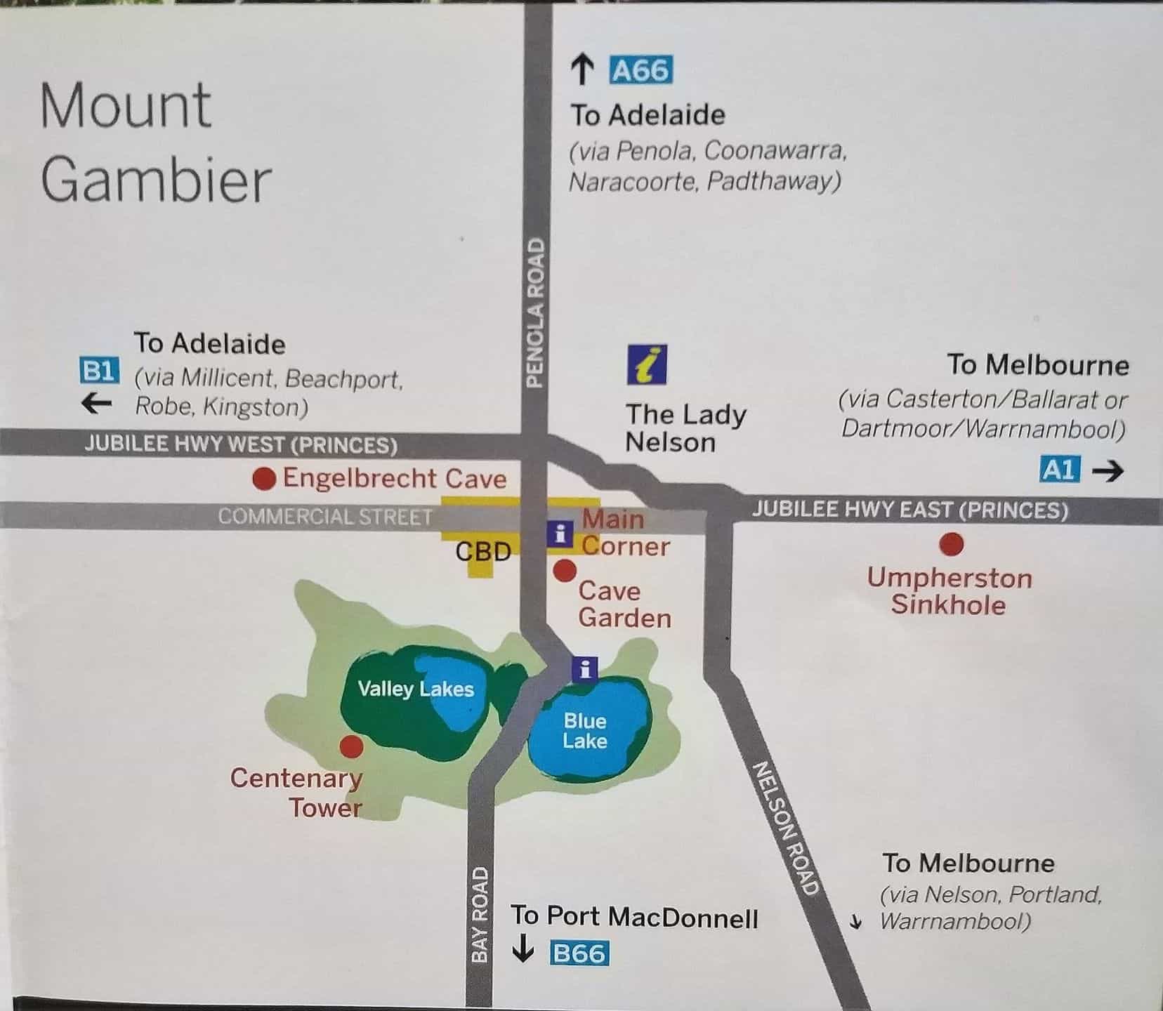
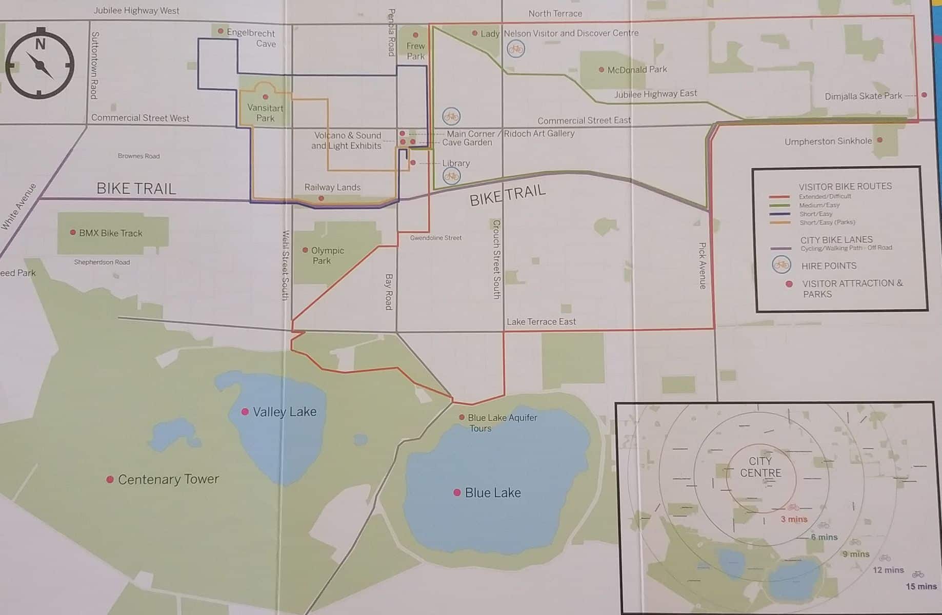
From the tower, visitors should take a short trip to the Crater Lakes, which consist of three lakes: Leg of Mutton Crater Lake, Blue Lake Crater, and Valley Lake Crater. Of the three, the latter is the most popular, with excellent facilities for travellers to relax and unwind.
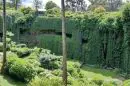
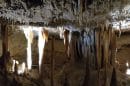
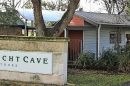
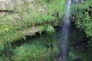
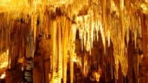
A tour of Mount Gambier would be incomplete without a visit to The Cave Garden, famed for its great picnic grounds and amazing shows at dusk. This coastal city offers more than just a getaway—it makes for great memories!


What are the best beaches for swimming with children? Are they manned by lifeguards?
Hi Karly,
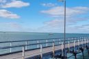
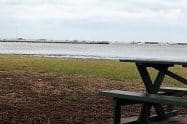
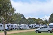
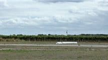
Head to Woolwash swimming beach near Port Macdonnell. This is a popular swimming beach which also has BBQs and toilets nearby, however the beach is not manned by lifeguards.
Kind regards,
Jess